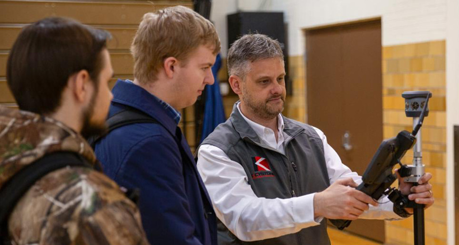
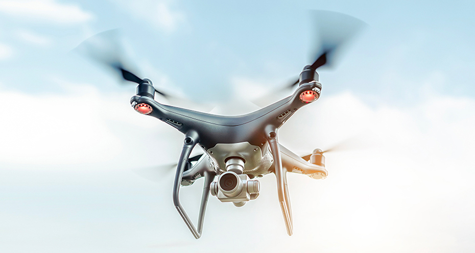
Drone Demo Offers Aerial Insights, Emerging Technologies
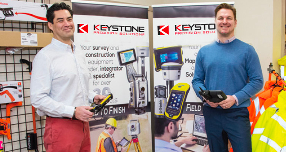
Keystone Precision Solutions spent a recent day on campus to share their expertise in emerging technologies in the architecture, surveying, construction and engineering industries.
Read More
Your browser is currently set to accept cookies. We use cookies to improve your online experience within Keypre.com. If you choose not to share your data, please go to your browser's privacy settings and turn off cookies. What do we do with your data? Click here to view our Privacy Policy. Thank you!

Keystone Precision Solutions spent a recent day on campus to share their expertise in emerging technologies in the architecture, surveying, construction and engineering industries.
Read More
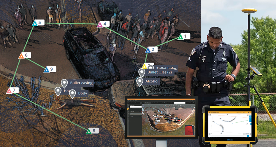
Trimble Forensics latest releases include the Forensics Capture v3.9.1 and Showcase v1.6.1
Read More
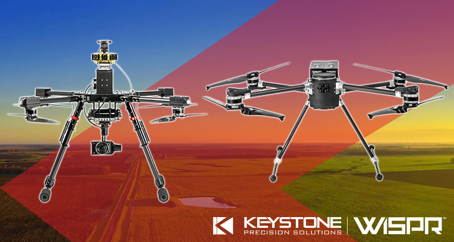
Delivering industry-leading drone technology tailored for advanced applications across construction, surveying, mapping, agriculture and inspection.
Read More

KPS is thrilled to partner with Exyn to introduce Nexys, a revolutionary 3D SLAM LiDAR payload.
Read More

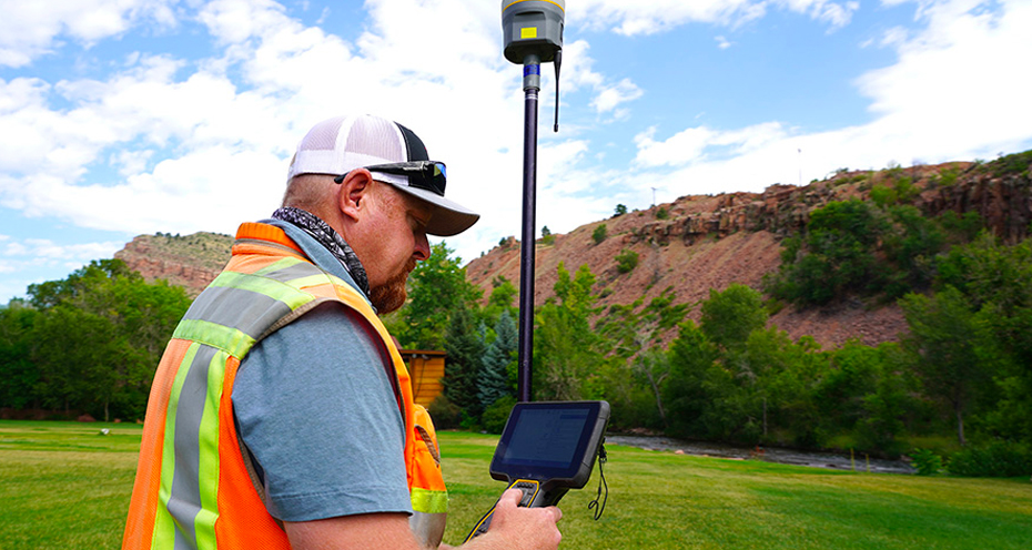
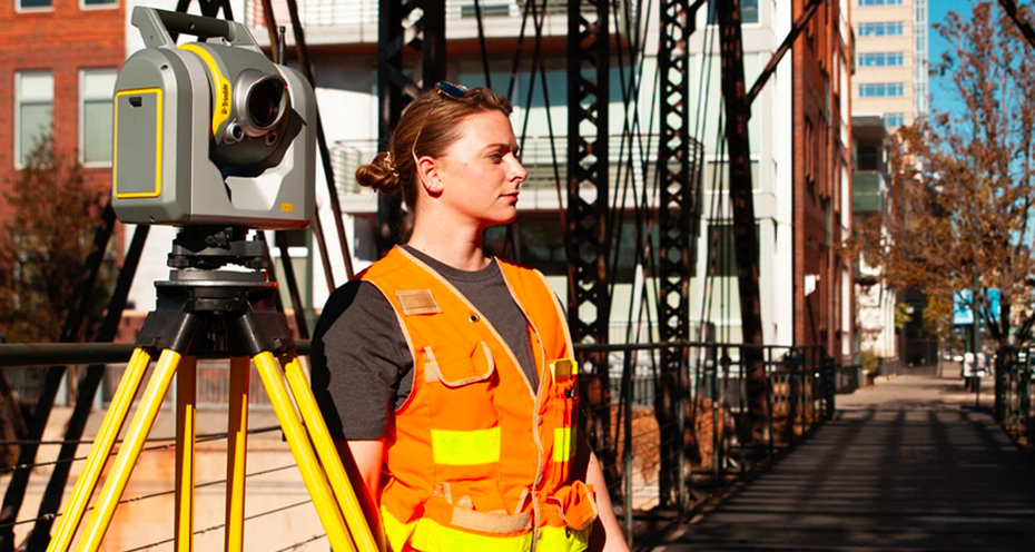
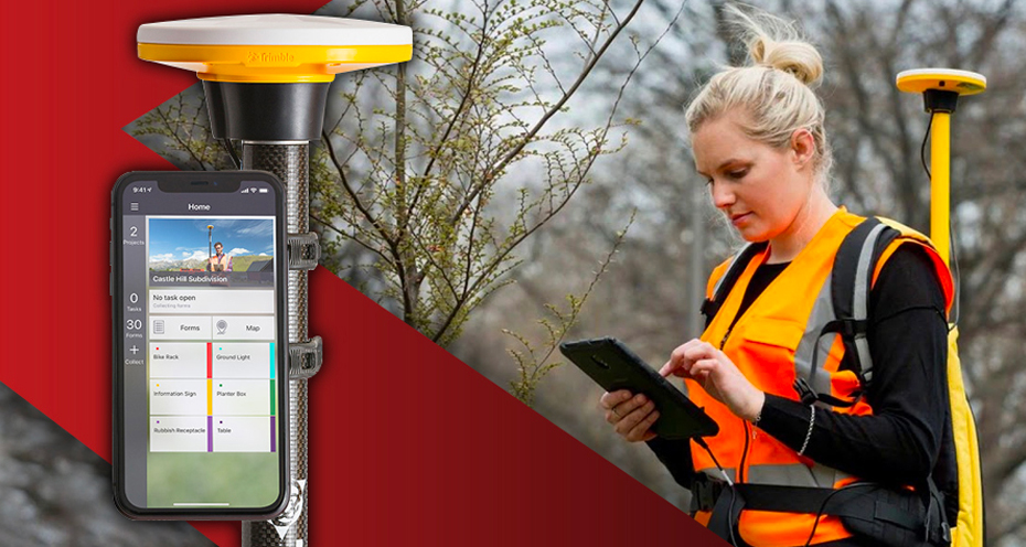
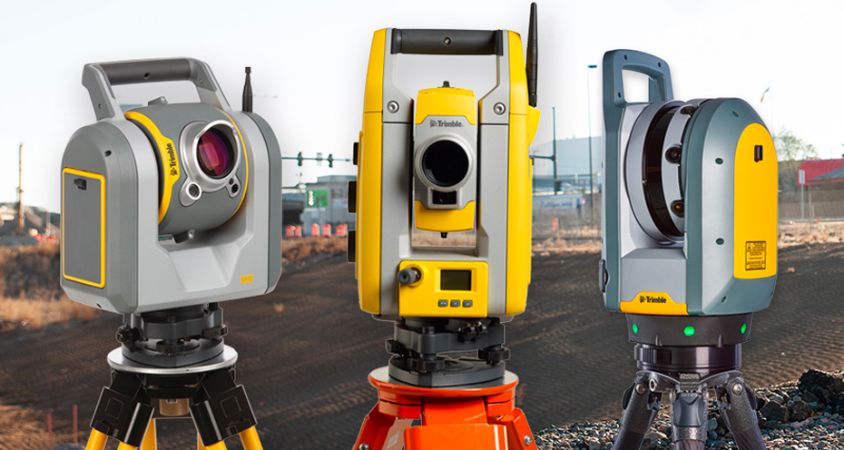
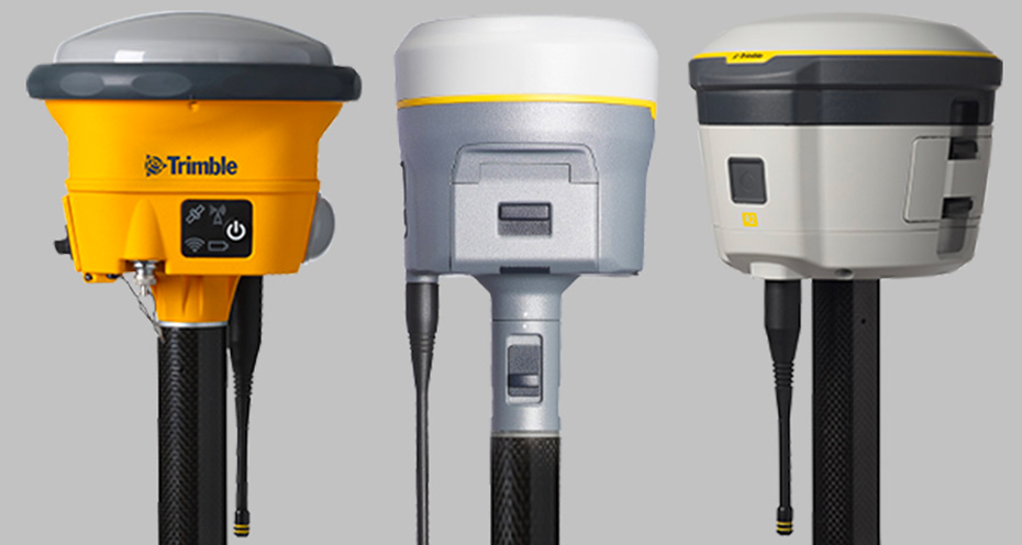
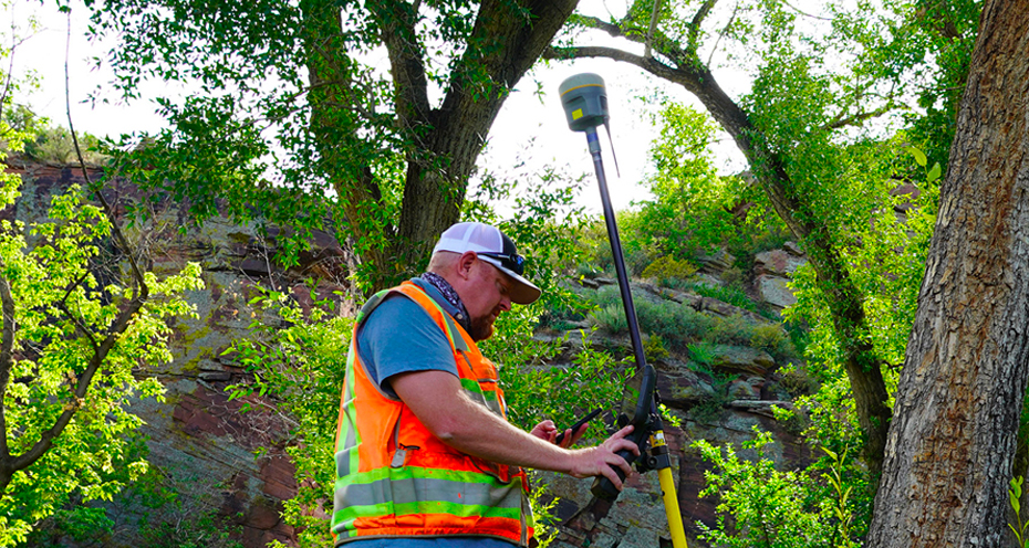
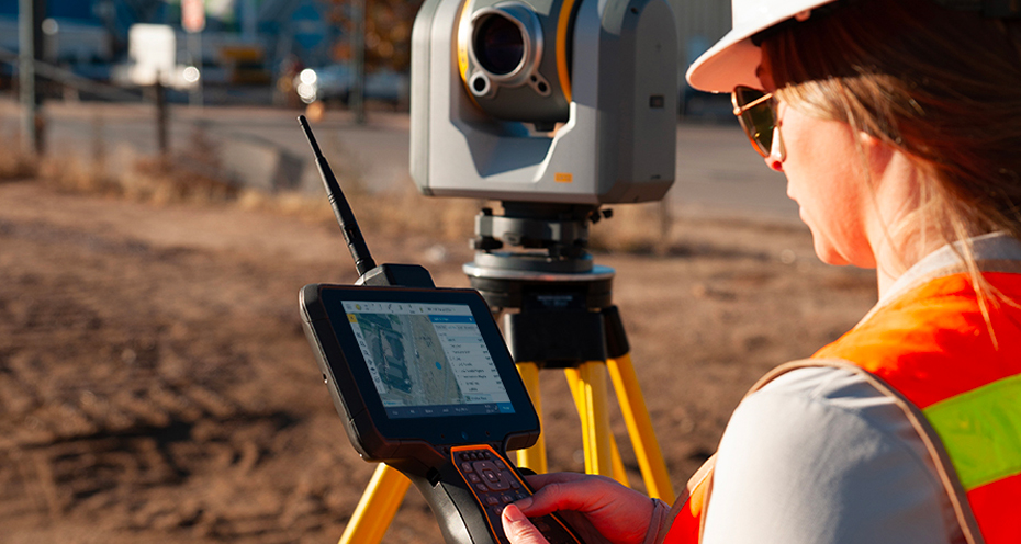
Providing unmatched GNSS performance with connected workflows to elevate survey productivity.
Read More

With only a select few repair centers worldwide, this achievement places KPS among an elite group of Trimble service centers worldwide.
Read More
This firmware version includes fixes and enhancements to the Survey Receiver Firmware.
Read More
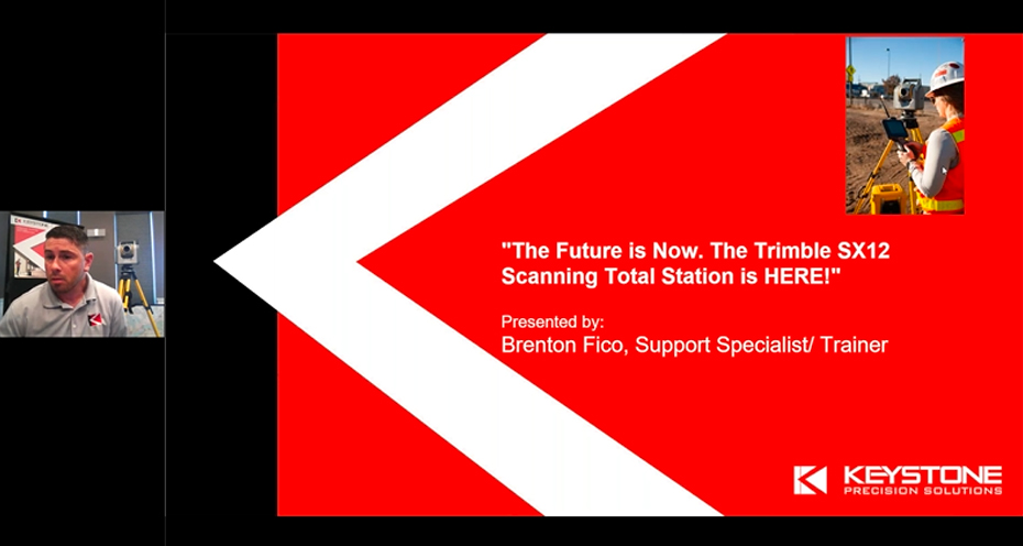
Information about the Trimble SX12 Scanning Total Station firmware version S2.8.5
Read More
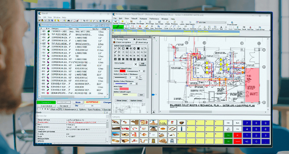
Trimble announces new versions of TerraFlex and Trimble Terra Office.
Read More
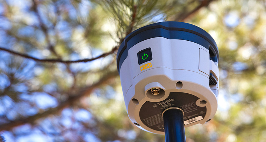
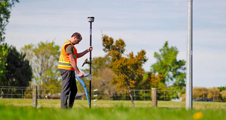
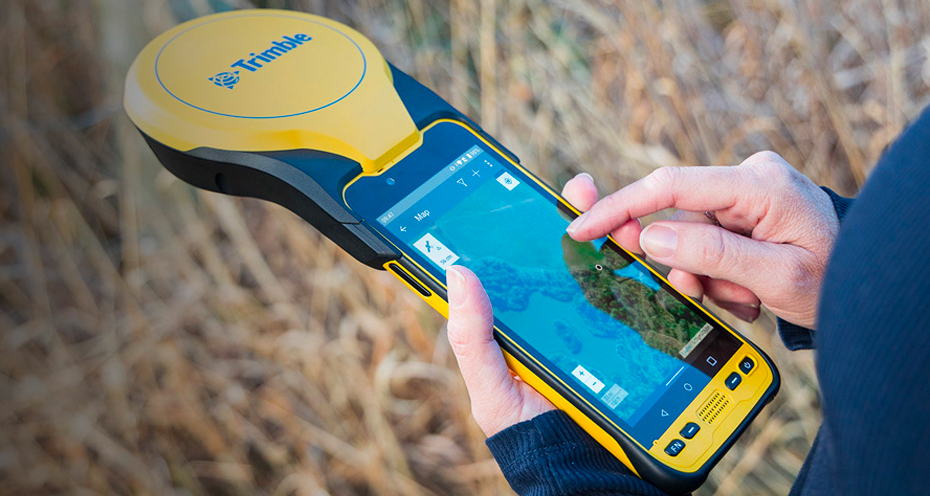
The Trimble R580 GNSS system, the newest Trimble ProPoint-enabled GNSS receiver, is now available.
Read More

Now may be the time for your company to purchase equipment and take advantage of the increased limits in the Tax Cuts and Jobs Act.
Read More
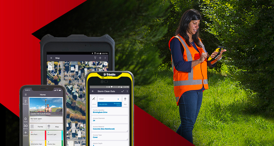
TerraFlex v5.90 is now available for download.
Read More

The latest version of Trimble Business Center (TBC) is here!
Read More

Version 2023.01 Release Notes
Read More
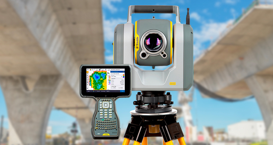
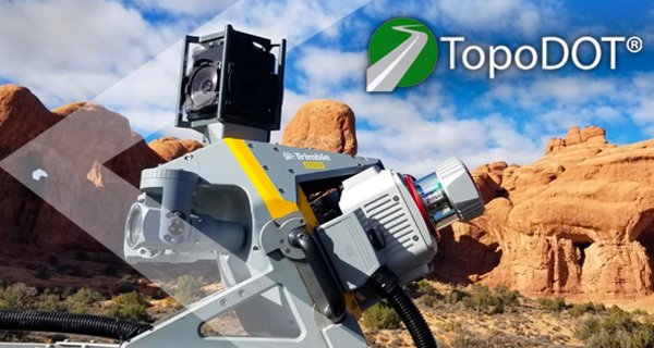
The Trimble SX12 scanning total station now comes with Wi-fi HaLow communications technology.
Read More
Trimble TerraFlex v5.8.1.12 is now available for all platforms.
Read More
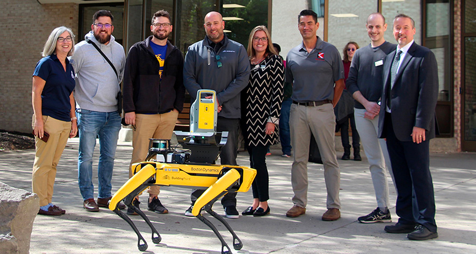
The partnership provides high-tech equipment and training for students in the School of Architecture, Management, and Engineering Technology (SAMET).
Read More
One of the key benefits of using DJI drones with Trimble Business Center is the seamless integration between the two technologies.
Read More
Trimble announces the release of new firmware versions for X7 3D Laser Scanner, Trimble S Series Total Stations and SX12 Scanning Total Station.
Read More
This version has several improvements and delivers field to office enhancements.
Read More
A new firmware for the TDC650 and a new version of Trimble Mobile Manager.
Read More
TBC version 5.80 offers greater connectivity of hardware and software solutions and a host of other enhancements.
Read More
Firmware version 5.56/6.16 includes fixes and enhancements to the Survey Receiver Firmware.
Read More
This firmware version is available for install and download using Trimble Installation Manager.
Read More
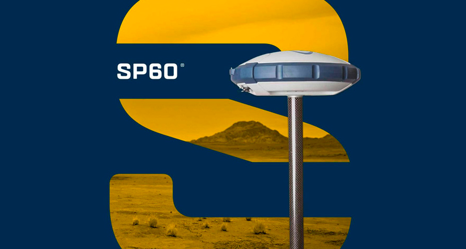
New GNSS firmware versions are available for Spectra Geospatial SP20, SP60, SP85 and SP90m receivers.
Read More

Keystone Precision Solutions is pleased to announce the promotion of Miguel Colom to the newly created position of Vice President of Operations.
Read More
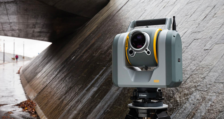
Trimble SX12 scanning total station firmware version S2.6.14 is now available.
Read More
Complementary and Consistent: Duo of Trimble MX50 and X7 Saves French Company Time Capturing Precise Data
Read More
A new firmware for the Trimble Survey GNSS.
Read More
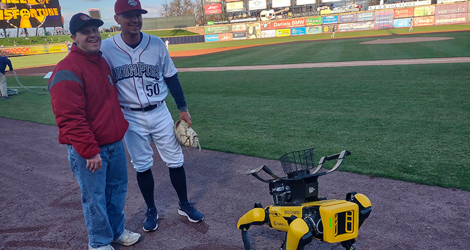
After Spar-key delivered the ball to the mound for the first pitch...
Read More
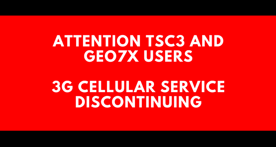
AT&T recently announced starting February 22, 2022 they will be shutting down their 3G cellular network.
Read More
This document announces the release of firmware version 2.4.102 for the Trimble X7 3D laser scanner.
Read More
Trimble Business Center (TBC) v5.50 was released on June 07, 2021.
Read More
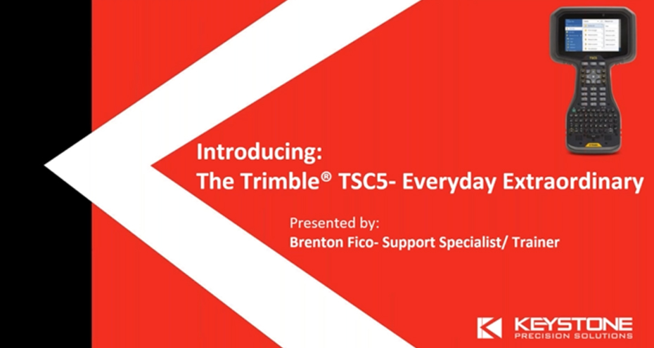
Trimble TSC5 Controller with 5-inch Screen, Keypad and Android Operating System
Read More
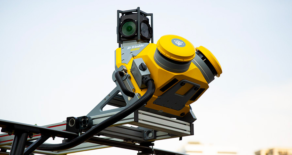
Enhancements Open Up New Applications in Tunneling and Underground Mining
Read More
Version 2023.00 delivers enhanced efficiency and accuracy for surveying and construction professionals.
Read More
New Name Reflects Commitment to Provide Industrial Businesses with Sophisticated Technological Solutions.
Read More
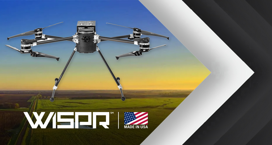
Watch Jamie Deiana from KPS, along with John McArthur and Karson Kall of WISPR, as they take a deep dive into WISPR, an American-made drone.
WISPR drones capture your data the way you need it. All drones fly. All drones deliver something. But only WISPR Systems makes it simple to gather the data you need and give you complete ownership over it to integrate seamlessly into your own programs.
Rugged and capable of protecting your expensive payloads, WISPR drones are all carbon fiber, made to handle the demands of your job site. Applications include LiDAR, photogrammetry, inspection, heat mapping, plant health and more.
Our webinar included discussions around applications, hardware, payloads and office software.
Read More

This webinar covers Pix4D, a professional photogrammetry and drone mapping software.
Pix4D products enable you to digitize reality and measure from images taken from planes, drones, phones or any other camera. Pix4D revolutionizes photogrammetry, so you can scale up and unleash the power of your imagery. The product range covers mapping and 3D modeling, cloud solutions, digital surveying, data capture applications and data capture hardware.
Industries served include:
Webinar presenters include Taylor Shepley from KPS and Tom Cerchiara of Pix4D.
Read More

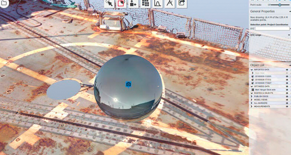
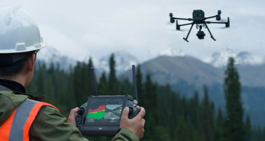
Discover how modern reality capture technologies are reshaping surveying and infrastructure projects through faster, more accurate, and more collaborative data collection. This presentation explores the evolution of terrestrial laser scanning, point cloud workflows, cloud-based data sharing, and visualization tools, highlighting how today's solutions enable professionals to capture existing conditions with unprecedented detail, reduce field time, improve decision-making, and deliver more value across the project lifecycle. The session is inspired by the latest advancements in 3D laser scanning and demonstrates how reality capture is becoming an essential component of the modern geospatial toolkit.
Webinar Panel:
Read More

With Exyn Technologies, you get high accuracy mapping in a portable package. This webinar will show you the future of mapping with the ExynPak Scanning Module — where 3D SLAM technology meets portability and precision, setting a new standard for on-the-go 3D mapping solutions.
Key features of the ExynPak Mobile Lidar include:
Read More

Watch now as Wingtra's Benton Szejk joins us and takes a deep dive into the benefits and the diverse applications of Wingtra.
Wingtra is the world’s leading VTOL drone producer for mapping, surveying and mining industry professionals. Our webinar includes information about the WingtraOne, an easy-to-use drone that delivers consistent, accurate, high-quality survey data faster and at a lower cost than other surveying tools. Watch the recording to expand your knowledge of Wingtra today!
Read More

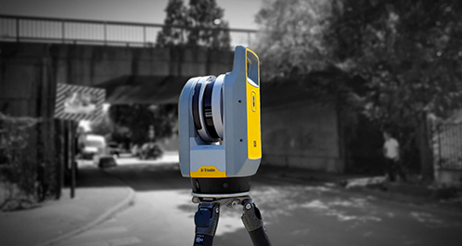
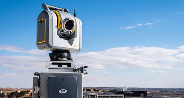
With a growing range of laser scanning technologies available, selecting the right solution can be challenging. This presentation provides an overview of terrestrial laser scanners, scanning total stations, and reality capture software solutions, helping attendees understand the strengths, limitations, and ideal applications of each. Learn how to match the right technology to your project requirements to improve efficiency, enhancing your deliverables, all while getting a return on investment.
Webinar Panel:
Read More

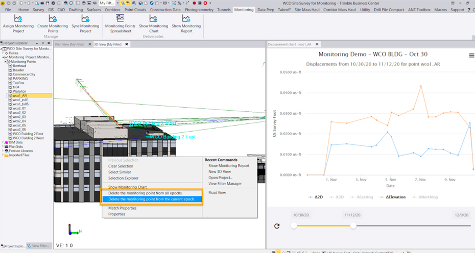
Listen to KPS’s Ken Fronheiser, PLS, PDC, along with Elena Piantell and Marko Ravnjak from Trimble’s monitoring team to learn more about increasing the value of rail data and acting on data insights with Trimble rail solutions, helping your team optimize efficiency and availability.
This is your chance to dive deep into infrastructure and rail monitoring. Explore the benefits, real-life case studies, and the diverse applications of monitoring systems. Whether you’re in the rail industry or fascinated by cutting-edge technology, this webinar promises invaluable insights and actionable strategies.
Read More
Learn more about the DJI Zenmuse L2 as well as the TBC Photogrammetry Model, DJI Terra Pro and Pix4D. Speakers include Jamie Dieana and Rick Johnston from Keystone Precision Solutions.
Read More

Learn how to create a seamless, connected reality capture workflow by integrating Trimble Access, Trimble Connect, and the Trimble Reality Capture Platform. This session demonstrates how field data collected in Trimble Access can be synchronized directly to Trimble Connect, enabling efficient data management, cloud-based collaboration, and streamlined point cloud processing. Explore best practices for sharing, visualizing, and collaborating on reality capture data, reducing project delays, improving accessibility for stakeholders, and accelerating the delivery of accurate, actionable information across surveying, engineering, and infrastructure projects.
Webinar Panel:
Read More
Read More

Read More
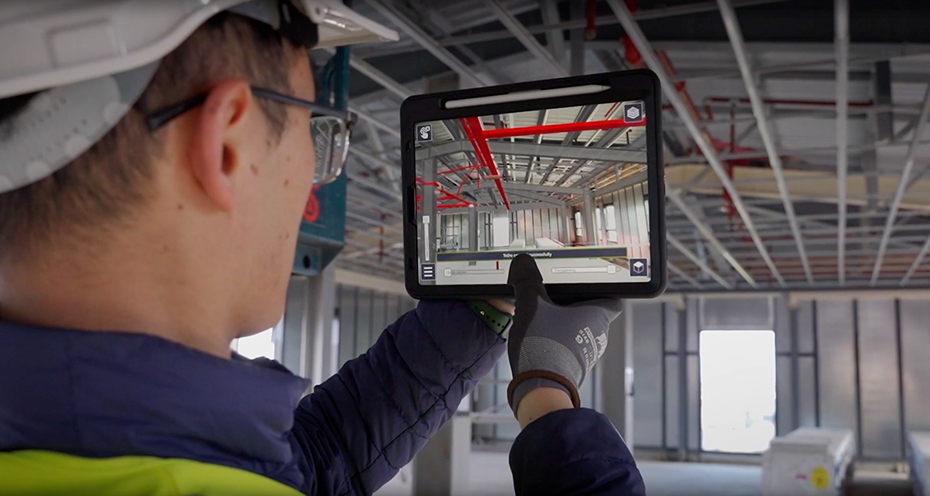
Discover how Trimble SiteVision brings digital designs to life through augmented reality, enabling users to visualize geospatial data, 3D models, and proposed infrastructure directly in the field. This session explores practical applications for surveying, engineering, and construction, demonstrating how SiteVision enhances project planning, stakeholder communication, quality assurance, and decision-making by providing an immersive, real-world view of design data in its intended environment.
Webinar Panel:
Read More
Read More
Read More
Read More

Read More

Read More
Read More
Read More
Read More
Read More
Read More
Read More
Read More
Read More

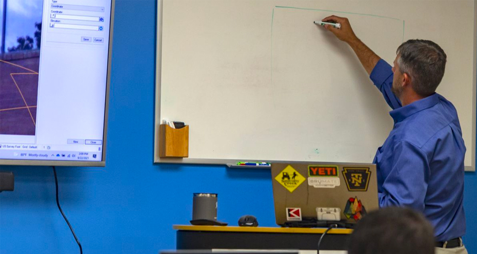
Keystone hosted a webinar on September 24, 2024, at 12 pm EST. Watch KPS’s Ken Fronheiser, PLS, PDC, to discover the best laser scanning solutions for your needs.
Data capture methods have evolved significantly, with laser scanning emerging as one of the most advanced techniques. Deciding which cutting-edge technology to invest in can be challenging. Today, you can collect point cloud data using a tripod-mounted scanner, a handheld unit, or a vehicle-mounted scanner. This session explored the available solutions to enhance your efficiency and profitability.
Read More
Read More
Read More