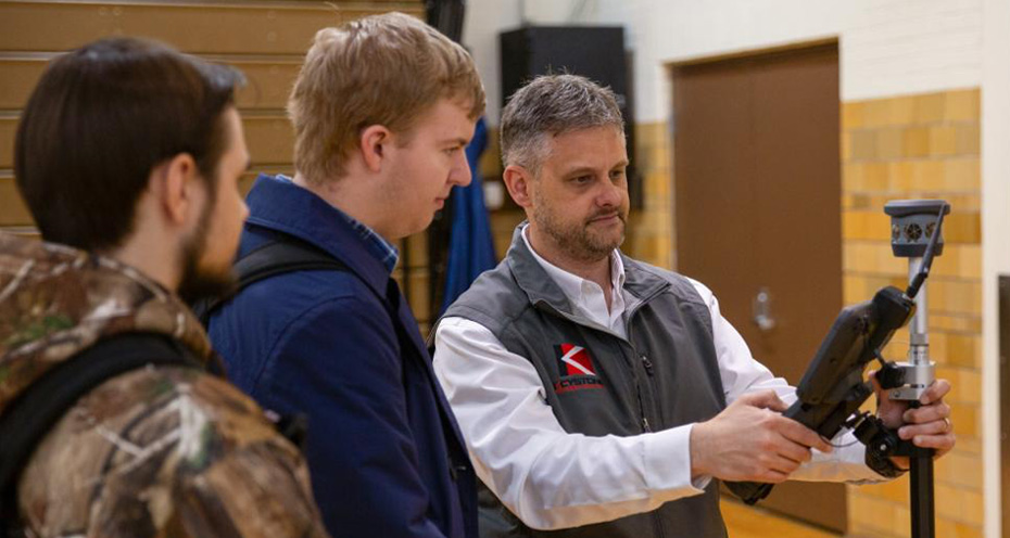
Caption: Alumnus Ken Fronheiser (right) demonstrates a robotic total station to James C. Fretz, a construction management student from Collegeville. Fronheiser is director of strategic integration and technology for Keystone Precision Solutions.
Representatives of Keystone Precision Solutions spent a recent day on campus to share their expertise in emerging technologies in the architecture, surveying, construction and engineering industries.
Although the team’s unmanned aerial vehicles were “grounded” due to rain, several classes visited the Bardo Gym, where the company showed the capabilities of GPS, laser scanning, unmanned aerial vehicles and precision measuring technologies in gathering data that can be used for surveying and site layouts, contour mapping, 3D modeling and more.
Equipment included a robotic total station, laser scanner and unmanned aircraft systems.
Helping to arrange the visit were Ken Fronheiser, director of strategic integration and technology for Keystone Precision Solutions and a 1999 graduate of the college’s civil engineering technology and surveying majors; Shanin L. Dougherty, corporate relations officer for the college; David J. Fedor, assistant professor of civil engineering technology; and Ellyn A. Lester, assistant dean of construction and architectural technologies.
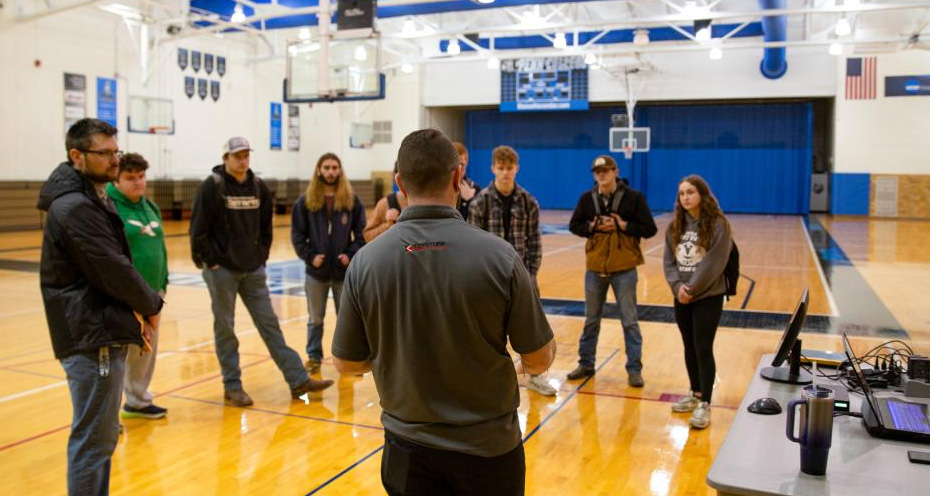
Caption: Students gather as Brent Fico (back to camera), customer integration engineer with Keystone Precision Solutions, demonstrates a Trimble X9 laser scanning unit. On left is David J. Fedor, assistant professor of civil engineering technology.
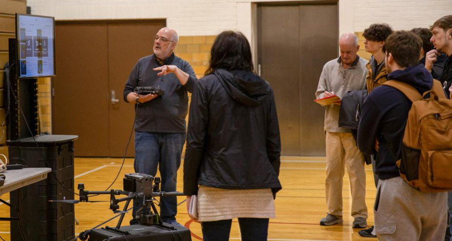
Caption: Rick Johnston, Keystone's customer integration engineer, shows data collected by an aerial LiDAR system (specifically those of a DJI 350 drone equipped with an L2 LiDAR system). Taking notes at right is Harry W. Hintz Jr., part-time instructor of building construction technology.
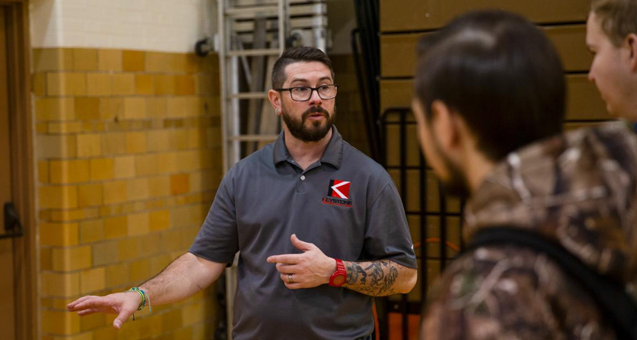
Caption: Fico talks with students about the capabilities of terrestrial (on-ground) LiDAR scanning, which creates a photorealistic three-dimensional model.