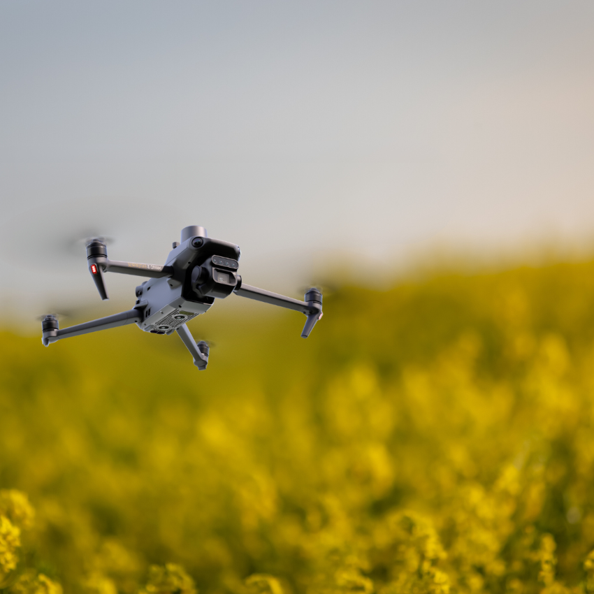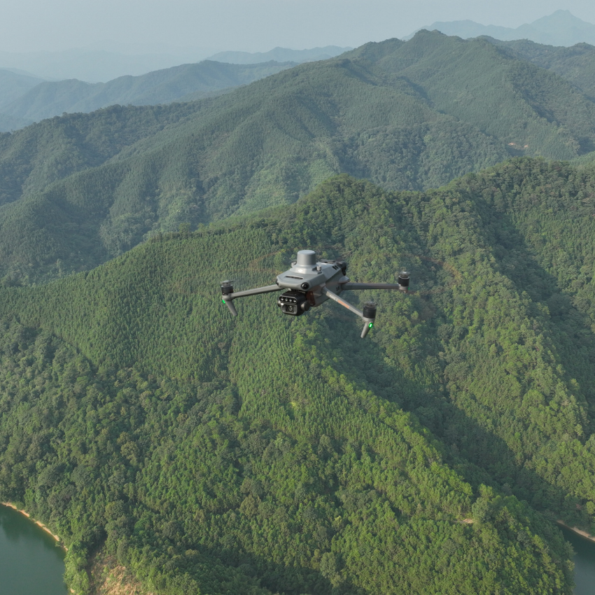
DJI Mavic 3 Multispectral SP Plus for Land Survey
Manufacturer: DJI
In categories: Drone Solutions
-
SKU: CB.202210310429
-
AVAILABILITY: In stock
Description
DJI Mavic 3 Multispectral SP Plus for Land Surveyors: Unveiling the Spectrum of Precision
Elevate Your Land Surveying With Advanced Multispectral Insights
Introducing the DJI Mavic 3 Multispectral SP Plus, the ultimate drone solution for land surveyors seeking to capture the full spectrum of data. Equipped with cutting-edge multispectral imaging technology and backed by a one-year DJI Care Enterprise Plus warranty, this drone is engineered to elevate precision, efficiency, and reliability in a wide range of surveying applications.
Innovative Multispectral Imaging for Comprehensive Analysis
- Detailed Vegetation Insights: With its advanced multispectral sensor, the DJI Mavic 3 Multispectral SP Plus captures high-resolution images across different wavelengths, including green, red, red-edge, and near-infrared (NIR). This capability is crucial for assessing plant health, water stress, and crop yield potential, enabling precise agriculture and environmental monitoring.
- Enhanced Surveying Accuracy: The integration of NDVI and other vegetation index maps allows for the detailed examination of crop health and land coverage, facilitating intelligent decision-making and operational efficiency in agricultural management.
- Real-Time Data Transmission: Leverage the power of real-time data upload to the DJI SmartFarm platform over a 4G network. Detect and analyze anomalies such as weed pressure, crop lodging, and emergence deficiencies swiftly, ensuring timely interventions and improved crop management.
Robust and Reliable for Demanding Field Operations
- Extended Flight Time: Maximize your surveying potential with up to 43 minutes of flight time, allowing for extensive area coverage and detailed data collection in a single mission.
- Comprehensive Environmental Monitoring: Beyond agriculture, the DJI Mavic 3 Multispectral SP Plus excels in environmental and natural resource studies, including water enrichment monitoring, forest distribution surveys, and urban green area assessments.
- Precision and Protection Combined: Benefit from the accuracy enhancements provided by the integrated D-RTK antenna and the peace of mind offered by the DJI Care Enterprise Plus warranty, covering a wide range of potential issues for a full year.
Streamlined Operation for Optimal Performance
- User-Friendly Interface: Designed with the user in mind, the drone features easy-to-navigate controls and settings, including auto-exposure and focus modes, to facilitate seamless operation even for novice users.
- Enhanced Connectivity: Enjoy reliable and extensive image transmission distances, ensuring you remain connected and in control, regardless of the survey site's remoteness.
Transform Your Surveying Workflows Today
The DJI Mavic 3 Multispectral SP Plus is more than just a drone; it's a comprehensive surveying solution that brings unparalleled precision and efficiency to your projects. Whether it's agriculture, environmental monitoring, or resource management, this drone is equipped to provide the insights you need to make informed decisions and achieve optimal outcomes.
Secure Your DJI Mavic 3 Multispectral SP Plus Now
Demand for the DJI Mavic 3 Multispectral SP Plus is high, and availability may be limited. Ensure you have the advanced tools necessary to advance your surveying capabilities by contacting us today to confirm availability and secure your package.


