
Keystone Precision Solutions (KPS) is your total solutions company for data collectors and software.
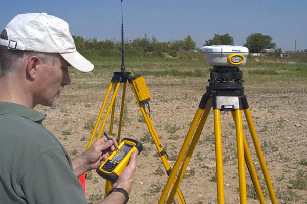
A surveying data collector records and calculates points in the field. It works with GPS receivers, robotic and manual total stations. It electronically captures and logs spatial information and coordinate data in the field which is ultimately downloaded to your office software platform or CAD program for processing.
Beyond equipment, Keystone Precision Solutions provides in-house repairs and preventative service, rental and loaner equipment, training and technical support for both the hardware and software, and we also consult with you to help your business succeed.
Our protection plans far exceed the factory warranty for circumstances such as accidental damage, wear and tear protection, and preventative maintenance.
Trimble TSC5 Controller
An Android-based survey controller with a 5-inch screen, full keyboard, and all day battery power. Has a high resolution 13 MP camera, 2.2 GHz processor, 4GB memory and 64 GB storage.
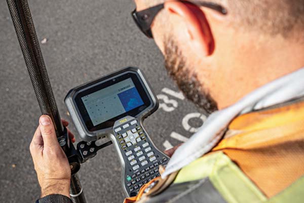
Trimble TSC7 Controller
Windows 10 operating system, 7-inch color screen, 2 MP front and 8 MP rear cameras, ergonomic grip zones, user replaceable modules, hot swappable batteries, backlit keypad, 8 GB memory, 64 GB storage.

Trimble Access Software
Subscription based software designed to support your work including topographic surveys and graphical staking of points lines, arcs, and alignments from active maps. Easy to use interface. Integrated surveying technology that combines optical, scanning, and GNSS data plus images in the same job.

Trimble Survey Pro Software
Survey Pro field software provides a complete set of capabilities for all your survey projects. It’s fast, reliable and easy to use. Transfer data from Survey Pro to your laptop or PC and manage your jobs using Survey Office.
Spectra Geospatial Origin Software
Spectra Geospatial Origin is the new, modern field software supporting complete land survey workflows for all your projects and jobs. Intuitive and reliable, Origin provides map-based workflows for one-tap, easy-to-use measuring, feature coding, coordinate geometry calculation, and stakeout. Supports both the Windows® and Android™ operating systems.
