
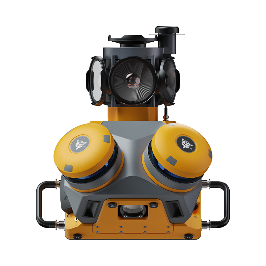
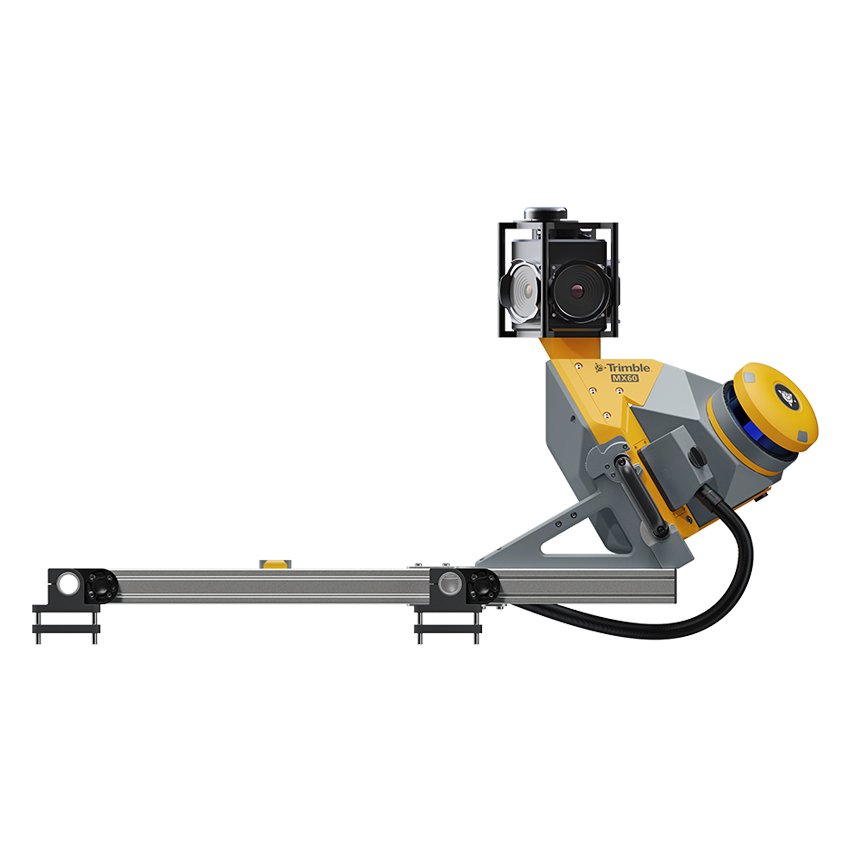



Trimble MX60 Mobile Mapping System
Manufacturer: Trimble
-
- Have Questions
Description
KPS is proud to offer the new Trimble® MX60 mobile mapping system, which brings together the best in laser precision, system accuracy and visual performance at high speeds to ensure top-quality data capture.
Each project is a journey. Enjoy the ride.
Capture, process, extract, and share data with proven field‑to‑finish workflows for asset mapping and asset data management.
Leveraging state-of-the-art Trimble LiDAR technology, best-in-class GNSS positioning, and premium optics, the Trimble MX60 delivers accurate data together with immersive imagery and efficient workflows needed for substantial gains in productivity.
Features and capabilities
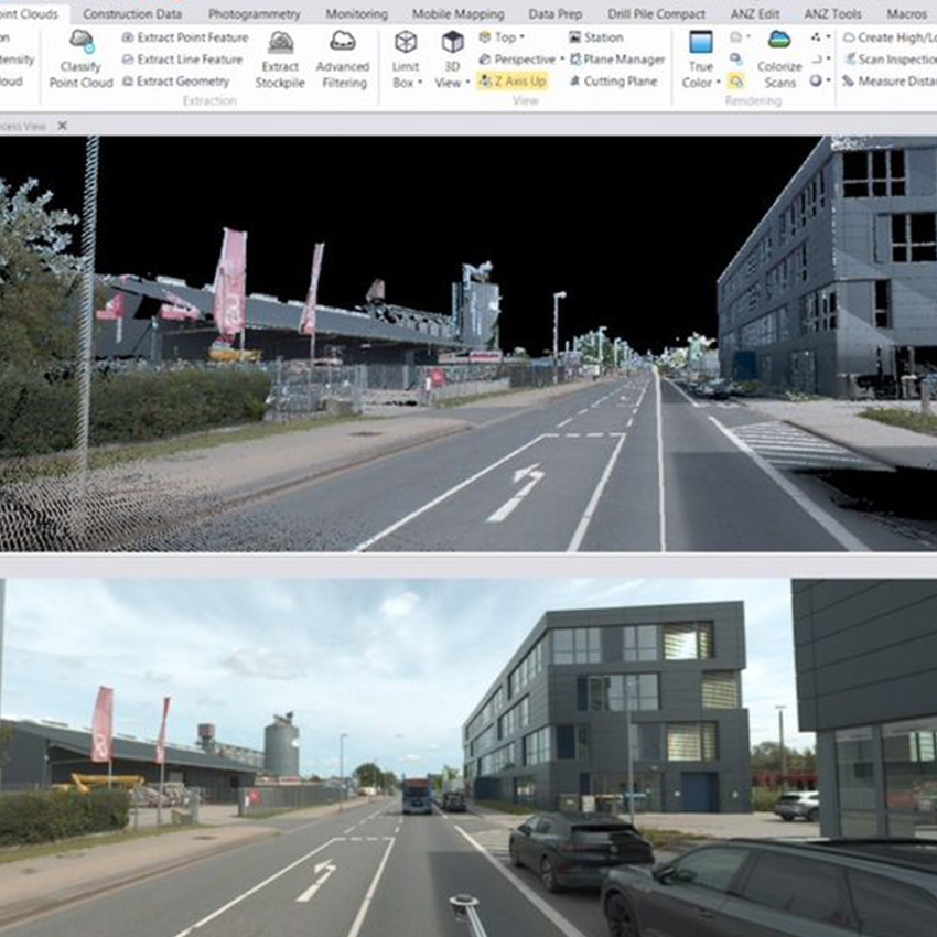
- High-quality colorized point clouds and 360° immersive imagery with simple, smart device operation and single cable sensor connection.
- Trajectory data processing using tightly coupled GNSS and inertial data incorporated into Trimble Business Center software.
- Create survey, engineering and GIS deliverables using existing data schemas and connect to existing asset databases.
- Share for collaboration point clouds and images with overlaid existing asset data. Extract new assets and store them in databases.
To see the full MX60 spec sheet, click here.